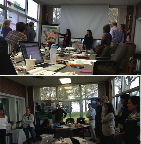
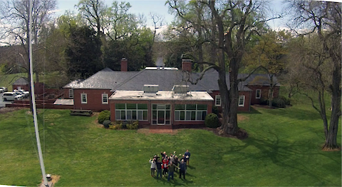
Caroline Donovan and I facilitated a mini-workshop in Charleston, South Carolina this week to advance the NOAA Coral Reef Monitoring Program Report Card Pilot projects in American Samoa and Florida. The meeting went very well – we had some difficult things to work out, and everyone came together to do just that.
The … Five IAN workshop components: 1. Workshop preparation. Workshop preparation is important, but often overlooked. Preparation includes carefully formulating a list of invitees well in advance in order to maximize participation of key people. An attempt is usually made to assemble a diverse set of participants to ensure diverse input and to avoid leaving out potential detractors. It is generally better to have detractors in the room than outside undermining the effort.
In March, Bill Dennison, Simon Costanzo, and I travelled to Norman, Oklahoma for a workshop on ecological drought, part of an ongoing project with the USGS National Climate Change and Wildlife Science Center. This was the third in a series of eight workshops to be held at each of the nation’s eight Climate Science Centers focusing on ecological drought.
This blog is part of the Basin Report Card Initiative: a partnership between the World Wildlife Fund (WWF) and the University of Maryland Center for Environmental Science (UMCES) We have had two retreats with our WWF colleagues on the front porch of the DuPont House which serves as the Center Administration for UMCES. The DuPont House is on the Choptank River and we can enjoy the view while brainstorming and writing. We find that our retreats with WWF are very productive and immersive.
This blog is part of the Basin Report Card Initiative: a partnership between the World Wildlife Fund (WWF) and the University of Maryland Center for Environmental Science (UMCES) Don Boesch and I had lunch with our World Wildlife Fund colleagues Carter Roberts and Tom Dillon recently. Carter asked a question that a) we couldn’t answer immediately, and b) stimulated me to think about what makes our partnership unique.
Conceptual cross-section diagrams are a new technique developed by the IAN symbol library, allows for a geographically accurate depiction of coastal waterways. The first use of these cross-section approach was for New York Harbor, developed because of the complex waterways, islands, bridges and tunnels in New York Harbor. Brianne Walsh created a series of multiple cross sections using east-west transects extending from New Jersey to Long Island.
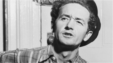
As part our two-day workshop with the South Central Climate Science Center to discuss ecological drought in March 2016, I have presented the following songs: Red River Valley … 29 Mar 2016 … William “Woody” Dennison … Come and develop adaptations, if you like me … Do not hasten to bid drought adieu … Just remember the Red River Valley … And the cultural richness that is true.
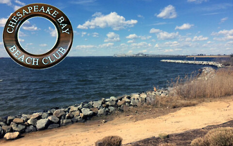
A one-day conference sponsored by the Harry Hughes Agro-Ecology Center and Town Creek Foundation was held at the Chesapeake Bay Beach Club on 18 March 2016. This conference was originally scheduled earlier in the year, but it was snowed out. The venue on Kent Island was beautiful, with views of the Chesapeake Bay Bridge. View of the Chesapeake Bay Bridge from the Chesapeake Bay Beach Club where the conference was held.
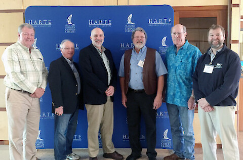
As a participant of the EcoHealth Matrix workshop held at the Harte Research Institute in Corpus Christi, Texas on 9-11 March 2016, I found myself in the unusual position of not being one of the organizers or facilitators. With all this extra time on my hands, I wrote a series of songs throughout the workshop.
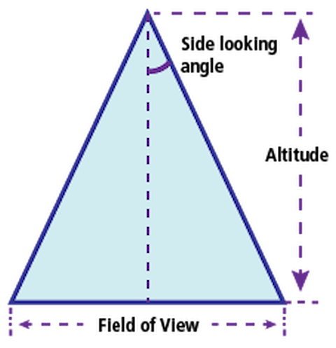
This blog is part of the Basin Report Card Initiative: a partnership between theWorld Wildlife Fund (WWF) and the University of Maryland Center for Environmental Science (UMCES) One of the attributes of report cards that is particularly useful is the ability to view a whole system synoptically. We often refer to this synoptic view as analogous to flying over at a high altitude.