EcoCheck was formed in 2004 as a partnership between the University of Maryland Center for Environmental Science (UMCES) and the National Oceanographic and Atmospheric Administration (NOAA). It was created by Drs. Bill Dennison (UMCES) and Bob Wood (NOAA) to develop ecological forecasting and environmental reporting capacity in the Chesapeake Bay.
In September, America’s Great Watershed Initiative (AGWI) held a summit in St. Louis, Missouri to develop more coordinated management of the Mississippi River Basin. AGWI is an initiative primarily led by The Nature Conservancy (TNC), although the management of the initiative itself is up for discussion. The summit brought together stakeholders with many perspectives to work on common management, communications, and assessment frameworks for the Mississippi River Basin.
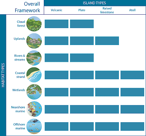
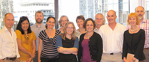
Developing an environmental assessment framework in the Pacific … In collaboration with the Secretariat for Pacific Regional Environment Program (SPREP), Heath Kelsey, Tracey Saxby, and Adrian Jones traveled to Samoa (Tracey and Adrian will be there until the end of this month) to help develop an environmental assessment framework for Pacific island countries. This current work follows on from a workshop in Nadi, Viti Levu, Fiji, in March this year.
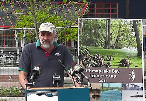
The following remarks were made at the 17 April 2012 release of the Chesapeake Bay report card: Welcome to the 2011 Chesapeake Bay report card release. My name is Bill Dennison, and I am with the University of Maryland Center for Environmental Science or UMCES. For the past six years, a group of scientists associated with a partnership that we formed between UMCES and NOAA called EcoCheck has been producing annual report cards for Chesapeake Bay.
The Great Barrier Reef Foundation is an organization which funds research that protects and preserves the Great Barrier Reef, particularly in the face of climate change. The Foundation convened a workshop to develop a synthetic publication that charts the vision for assessing the vulnerability to climate change. The Great Barrier Reef components used in this assessment of climate impacts included coral reefs, seagrass meadows, mangrove forests and catchment runoff.
Sponsored by the Australian Water and Environmental Research Alliance (AWERA), a workshop on environmental report cards was held near Brisbane, Australia. This workshop focused on how environmental report cards have emerged as a technique to integrate data and provide feedback to a wide range of stakeholders as to the ecosystem health of a particular region.
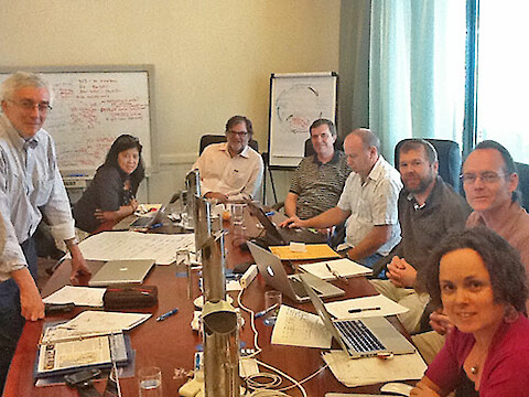
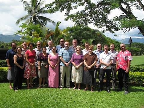
In March, Bill Dennison, Heath Kelsey, and I traveled to Nadi, Fiji to facilitate a workshop aimed at streamlining environmental reporting in the Pacific region. The 2010 Pacific Islands Forum Leaders’ and Forum Economic Ministers’ directive on reporting acknowledged the need to streamline global, regional and national reporting to reduce the reporting burden at the national level.
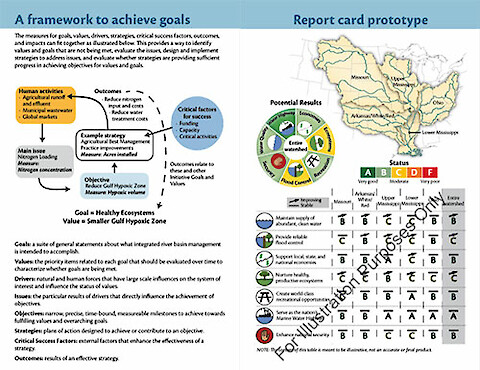
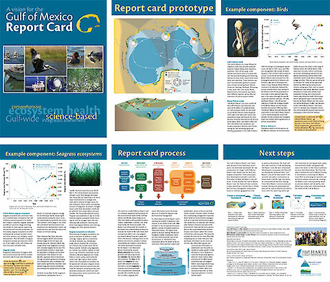
Our IAN group likes to tackle large complex projects on iconic ecosystems, while working with interesting and knowledgeable people. We love the immersive learning that comes with challenging projects and good teams. The Gulf of Mexico report card project is one of those exciting projects on an iconic ecosystem with a good team.
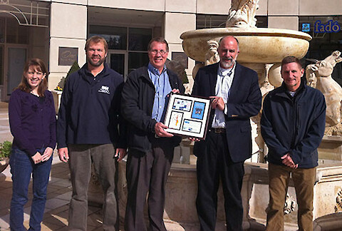
As part of the Gulf of Mexico Summit, we had the opportunity to present our prototype report card. For the presentation of the prototype Gulf of Mexico report card, we assembled our six man report card team: Drs. Larry McKinney and Wes Tunnell from the Harte Research Institute, Texas A&M University, Drs. Mark Harwell and Jack Gentile, Harwell, Gentile & Associates, and Drs.
The Summit … Earlier this month I got to participate in what everyone hopes is a seminal moment for the future of the Gulf of Mexico. The Gulf Summit 2011 brought together invitees from scientific, academic, government, industry, NGO, and environmental law communities in the region for 5 days in Houston, Texas in early December.