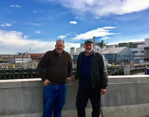
On 12 January 2017, I visited Beau Ranheim, the Section Chief of Marine Sciences, New York City Department of Environmental Protection. Beau was a graduate student in the Ed Carpenter/Doug Capone laboratory at Stony Brook University when I was a postdoc in the same laboratory. After Beau finished his Master's program at Stony Brook, he has been working for the New York City Department of Environmental Protection.
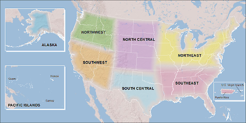
The submerged aquatic vegetation (SAV) can be used as sentinels for the health of Chesapeake Bay. A working group of scientists has been formed to analyze three decades of water quality data and annual surveys of submerged aquatic vegetation. Bob Orth, a researcher based at the Virginia Institute of Marine Science (VIMS), and I are leading this effort.
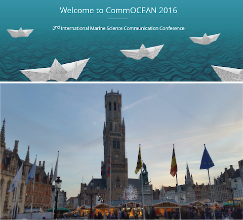
On December 6th to 7th 2016, Heath Kelsey and I represented the Integration and Application Network (IAN) at the 2nd International Marine Science Communication Conference (CommOcean) in Bruges, Belgium. The conference took place at the Provincial Court on the Market Square in the heart of the medieval Bruges, a historic UNESCO heritage site. It was my first trip to Europe, and my first conference to attend as both an IAN graduate student and session speaker.
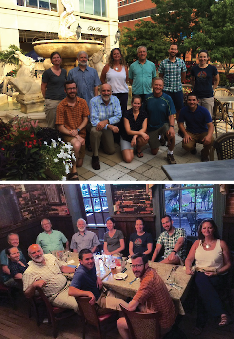
On October 13th, Caroline Donovan and I traveled to Dickinson College in Carlisle, PA for the Prioritization Workshop. This workshop was held as part of the Chesapeake Monitoring Cooperative (CMC) project that UMCES is a partner of as well as Alliance for the Chesapeake Bay, Izaak Walton League of America, and the Alliance for Aquatic Resource Monitoring (ALLARM). The workshop was hosted by ALLARM at Dickinson College.
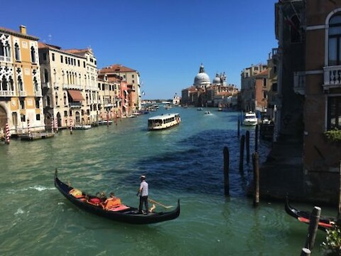
Last month, while on vacation in Italy, I had the opportunity to visit the aptly nicknamed “floating city”, Venice. For thousands of years, life in Venice has centered around water, reliant on the sea, lagoon and canals for protection, transportation, and livelihoods, and today those waters threaten to engulf the city. During a walking tour of Venice, we were able to venture off the beaten path, and learn a bit more about the engineering, and problems facing this magnificent city.
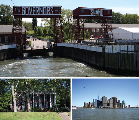
On Friday, June 10th, Judy O’Neil and I participated in the second annual Billion Oyster Projects Curriculum and Community Enterprise for Restoration Science (BOP CCERS) - Science, Technology, Engineering and Math education (STAM) Research Symposium on Governors Island.
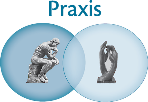
The Integration and Application Network (IAN) staff recently completed teaching a new course in Science Visualization. This course was part of the Marine-Estuarine-Environmental Science (MEES) Program through the University System of Maryland. Praxis, the word that Aristotle used to mean "thoughtful, practical doing", refers to the emphasis that this course had on developing the practical skills of science visualization.
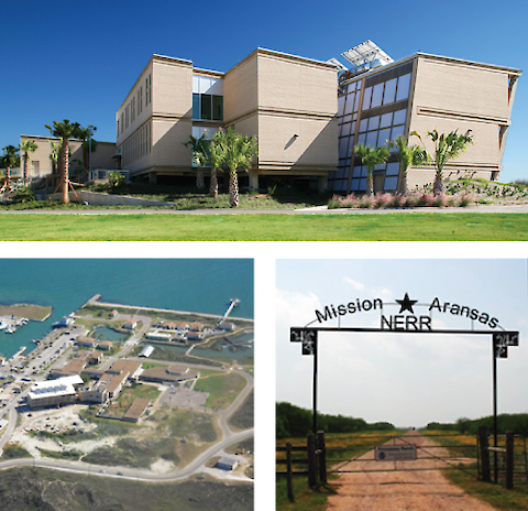
The Mission-Aransas National Estuarine Research Reserve Headquarters is located inside the The University of Texas at Austin Marine Science Institute Campus in Port Aransas, Texas. Credit: richterarchitect.com (top) and K. Dunton/missionaransas.org (bottom) On April 27-28 I participated in another workshop related (indirectly) to the Texas Coast Report Card Pilot Project at Harte Research Institute in Corpus Christi Texas.
In March, Bill Dennison, Simon Costanzo, and I travelled to Norman, Oklahoma for a workshop on ecological drought, part of an ongoing project with the USGS National Climate Change and Wildlife Science Center. This was the third in a series of eight workshops to be held at each of the nation’s eight Climate Science Centers focusing on ecological drought.
This blog is part of the Basin Report Card Initiative: a partnership between the World Wildlife Fund (WWF) and the University of Maryland Center for Environmental Science (UMCES) We have had two retreats with our WWF colleagues on the front porch of the DuPont House which serves as the Center Administration for UMCES. The DuPont House is on the Choptank River and we can enjoy the view while brainstorming and writing. We find that our retreats with WWF are very productive and immersive.